-smaller.png)
Reality Capture
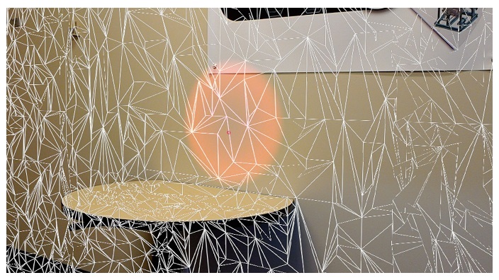
The technology within the Microsoft HoloLens inherently scans the local surroundings to understand flat surfaces for attaching apps. The device scans by creating triangles from the depth-perception cameras and uses the surfaces created by the triangles to identify surfaces such as walls, floors, tables, etc.
The iSiteData solution uses this technology to scan the local environs, saving the triangles ready for CAD processing to a reference surface file that can be interrogated in a user 3D model. There are 3 scan resolutions available and the following pages show the capabilities of the device as well as the times needed to create the results.
The device is designed to work with a depth of field from 1m to 5m giving the user flexibility on what is captured. Although the tolerance is not as accurate as a laser scan, it is more than sufficient for a CAD reference file. The resulting surface model is also created at a fraction of the time for no additional cost other than the device-wearers time.
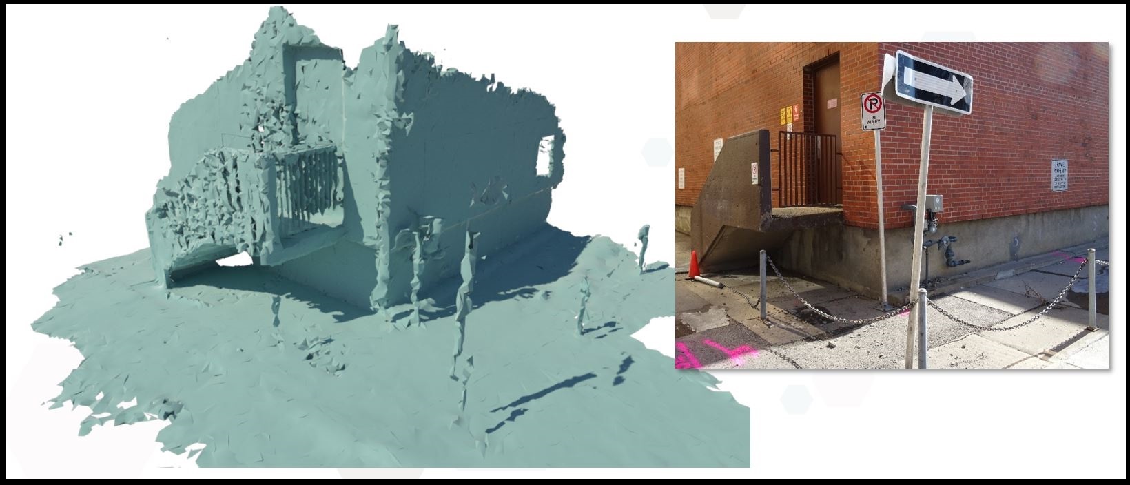
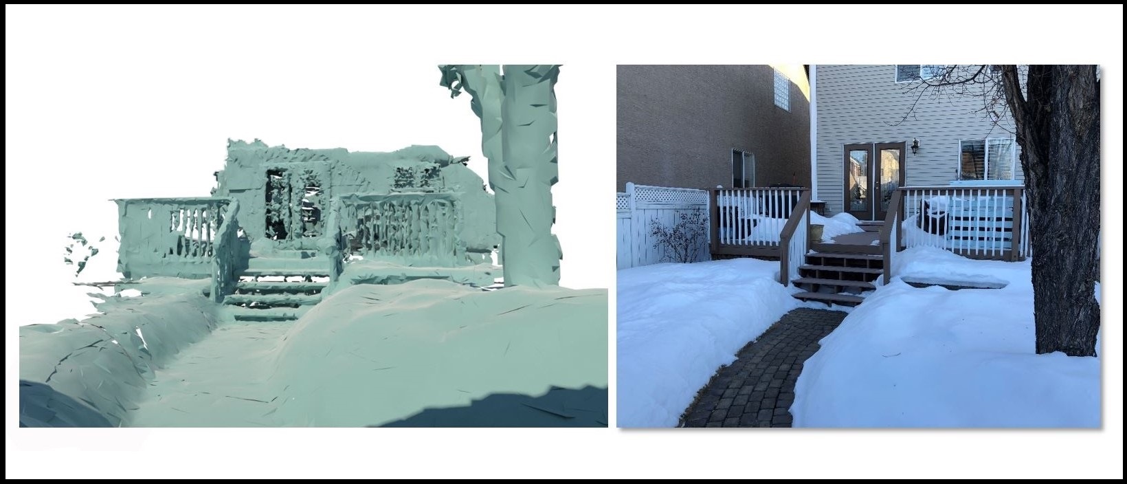
Below are a couple of examples of scans showing a rendered output with a photograph of the actual real-world locations:
Scan to assist replacement of commercial gas meter: (10 minute HoloLens scan, 2 minute download, 10 minutes for scaling & reference in AutoCAD)
Scan of domestic garden: (5 minute HoloLens scan, 2 minute download, 10 minutes for scaling & reference in AutoCAD)


